Skip to main content
Map Key
Trimble Maps Developer Portal
Icons
Map Elements
View All
Avoids & Favors
Closures
Custom Gates & Paths
Custom Places
Gates
Polygon/Site Editing
Route Lines
Traffic
Verified Places
3D Buildings
Vector Map Styles
View All
Accessible
Accessible (Dark)
Basic
Basic (Dark)
Data
Data (Dark)
Mobile Day
Mobile Night
Mobile Accessible
Mobile Accessible (Dark)
Mobile American
Mobile American (Dark)
Mobile British
Mobile British (Dark)
Mobile German
Mobile German (Dark)
Mobile Satellite
Satellite
Simple
Simple (Dark)
Terrain
Transportation
Transportation (Dark)
Home
Vector Map Styles
Mobile Accessible
Mobile Accessible
Our mobile Accessible map style is designed to support users with color blindness by emphasizing high contrast and utilizing a color palette optimized for their needs.
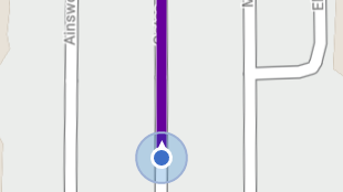
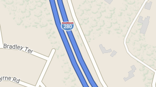
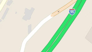
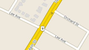
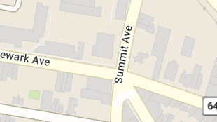
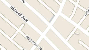
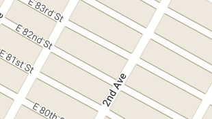
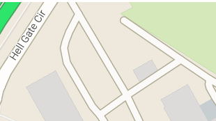
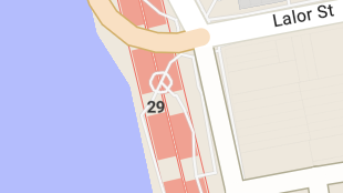
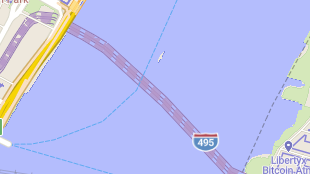
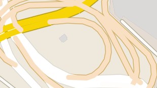
Road Network Examples
Route Lines
Interstates
Toll Interstates
Divided Highways
Toll Divided Highways
Primary
Secondary
Local
Sublocal
Footpaths
Tunnels
Toll Tunnels
Ramps
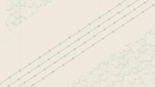
Rail Lines
Ferry Lines